Background
The Turtle Mountain Band of Chippewa Indians (TMBCI) has maintained a trusted relationship with HEI since 2003 to update existing and build new aspects of their water system. This working relationship between the TMBCI and HEI has resulted in many successful projects, including a recent GIS data analysis project.
The Project
Our project team began by compiling and aggregating tribal data from past projects with HEI, the Indian Health Service (IHS), and other consulting firms. We processed and formatted the data to use it as the primary database for a hosted web mapping system and application. This included checking the datasets for quality control and accuracy. TMBCI staff were part of the data review and quality control processes.
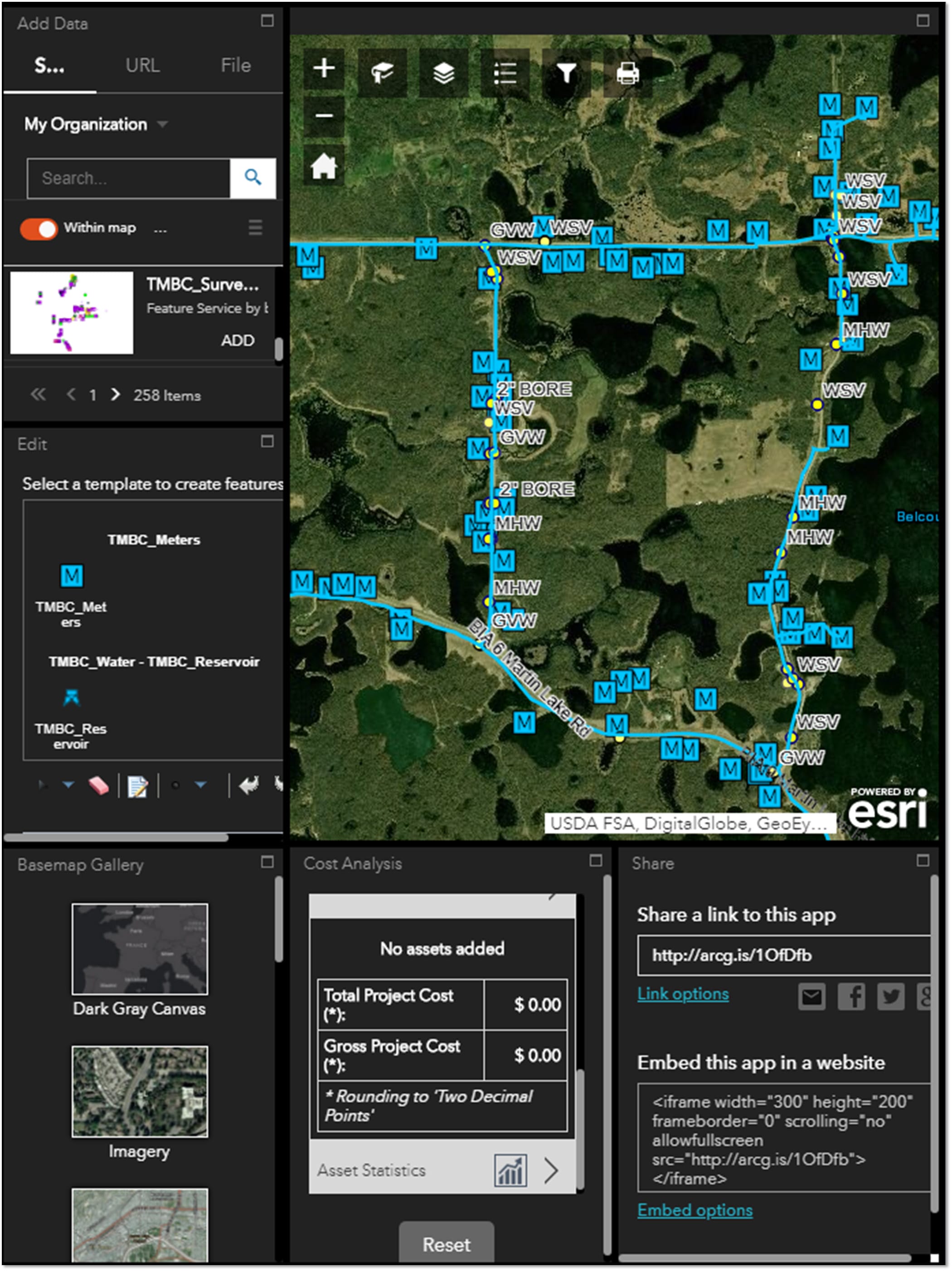
In early 2018, HEI created the web mapping system and application in ArcGIS Online. This web map gave TMBCI staff efficient access to geospatial infrastructure information from a PC, tablet, or smartphone.
HEI provided training on creating and editing data within the web map as well as collecting data in the field. Being able to extract information from the web map at the click of a mouse will greatly help TMBCI staff with their internal research and daily operations. The web mapping application contains tools to locate and identify infrastructure in the office or in the field. Items can be selected by various criteria and reports can be shared digitally or sent to a network printer.
Along with the development of the web mapping application, HEI collected, processed, and published field-collected, as-built data directly into the system map during the spring, summer, and fall of 2018. We processed, uploaded, symbolized, and integrated the survey data into the system map on an as-needed basis.
HEI knows that the expandability and flexibility of the web mapping system are critical to the long-term value of such a mapping system. The web mapping system will continue to grow and evolve as newly constructed project data is added.